The history and the ecology associated with a route appeals to me mostly ... cycling the TSR is the bonus and returning to a route a few times reveals far more than just one trip does.
Just after Christmas past, I visited the Ettrema Plateau, the Pigeon House Ranges (not Pigeon House Hill), the Galbraith Plateau and into the Northern Budawang Ranges to ride Galloping Jim's Route. It was about 20 years since I last visited Galloping Jim Route in the Northern Budawangs and during this last visit, I added the Redgrounds Track and the Alum Mountain Fire Trail to my knowledge of the Northern Budawang Ranges.
Galloping Jim was Jim Sturgiss from Sassafras. Jim Sturgiss (1895-1983) was a returned soldier (WW1) and grazier who lived in the Sassafras district of NSW, He is immortalised in 'The Man From the Misty Mountains' published by the Budawang Committte. Mount Sturgiss in the Budawangs is named after him. Galloping Jim named several of the mountains in the Budawang Ranges/Wilderness, and gave them excellent names from mythology like, Shrouded God's Mountain, Mount Nebulung and Seven Gods Pinnacles.
The trip was done after Christmas because of the rain. The good rains into the New Year guaranteed good water along the route and lessoned the chances of fire.
The maps for the route are GDA Topographic and Orthophotomap 1:25,000
TOUGA 8928-3S
NERRIGA 8927-4N
ENDRICK 8927-4S
CORANG 3927-3N
SASSAFRAS 8927-1N
TIANGARA 8927-1N
I didn't take all the maps for the route apart from ENDRICK and CORANG. I know the region and it was only on the Redgrounds Track and Alum Mountain Fire Trail that I needed maps.
Travelling by car to the Ettrema Plateau via Oallen Ford and the little town of Nerriga was a simple event thanks to the unexpected tarmac on the Oallen River Road. I seriously missed the dirt and the slow climb to Ettrema Plateau that made the trip in the past, a great deal of slow driving fun.
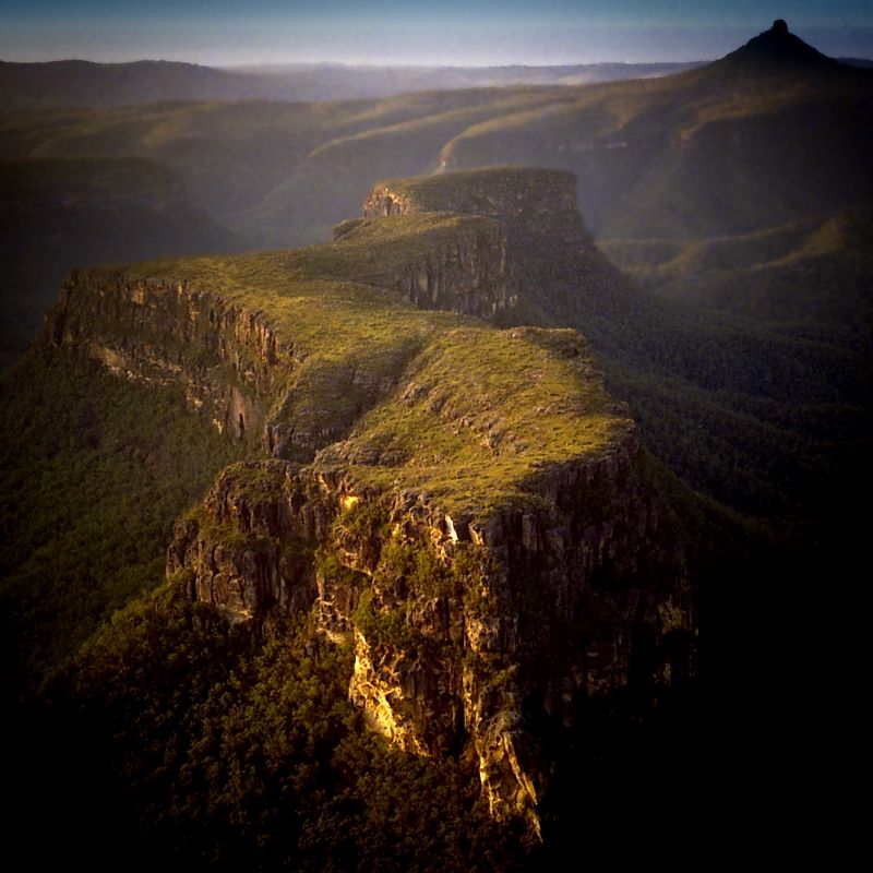
I arrived at Ettrema Plateau in the Ettrema Wilderness much sooner than I planned, travelling from Canberra. If I had realised earlier, how much time I had on my hands thanks to the new road surfaces, I would have taken the CAOURA 8938-3N map, and travelled further north to Touga Clearing (Touga NSW on Google Map) and spent the rest of the first day doing a reccy of the old Drover's Ridge Travelling Stock Route that overlooks the deep gorges of the Shoalhaven River. I spent the first afternoon trying to find an old firetrail out to the Ettrema cliffline, but it was too overgrown to even find a hint of it.
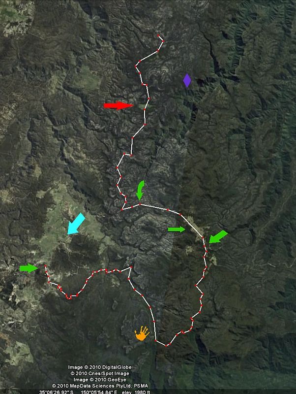
I began the ride about 8 kilometres north of Queira Clearing (Queira NSW on Google Map) Queira is the red arrow, and finished the route at Travelling Stock Reserve Jeremandra Creek, the green arrow on the left. The little town of Nerriga is the pale blue arrow, Pardon Point above the gigantic rip in the earth called Ettrema Creek is the purple diamond and the yellow hand is Quilty's Mountain where the Aboriginal Bora Grounds can be found. The TSR Reserves on the route are the remaining green arrows, and in order are, TS Reserve Billy's Hill, TS Reserve Bainbrig Creek and TS Reserve Sassafras. All up the old Travelling Stock Route was about 73 kilometres of dirt with about 40 kilometres of new tarmac and road works to get back to the car from TSR Jeremandra Creek.
In warm weather, if I'm camping away from the car, I travel lightly. No sleeping bag or Thermarest, just a light fly and a sturdy space blanket for sleeping and I use a polarfleece for a pillow. Cooking gear is one Trangia bowl and a cup, no burner if there isn't a fire ban. Food away from the car is normally, a couple of poverty packs (the gourmet 2 minute noodles), homemade scroggin which includes chocolate, several packets of beef jerky, a few muslie bars and a dense oat cake or two, Gatorade powder, coffee, milk powder. There are a few treats left in the car.
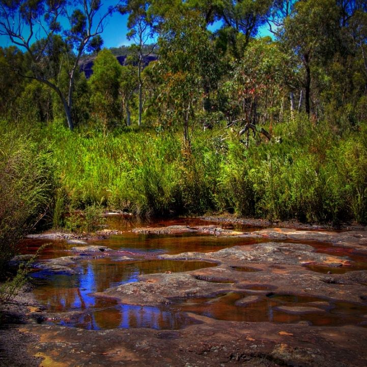
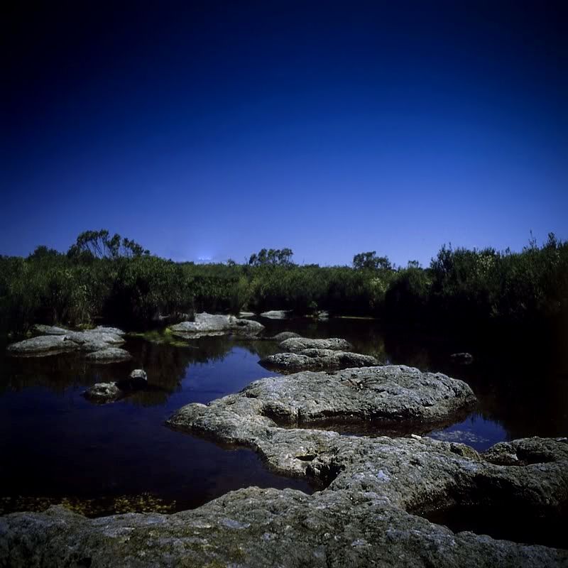
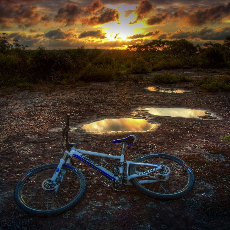
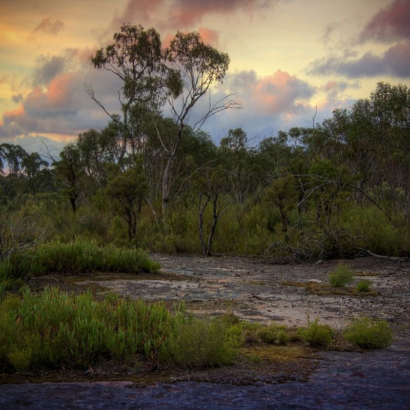
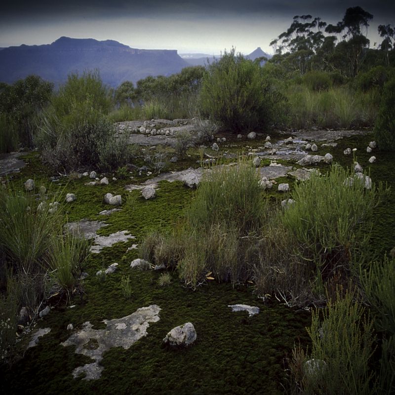
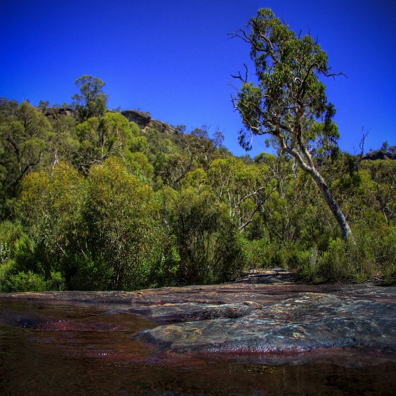
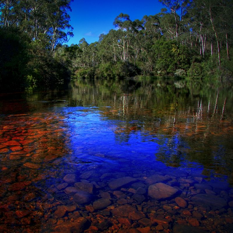
The Ettrema Wilderness and the Budawang Wilderness are spectacular bits of country and very good riding, good quality tracks and lots of rock pavement and this time, plenty of water. Ettrema Plateau can be very dry in summer. There was so much pooled water and flowing water on the rock platforms this time, it was awesome. There is always good water to be found in the creeks like Vines Creek and Camp Rock Creek and the Endrick River.
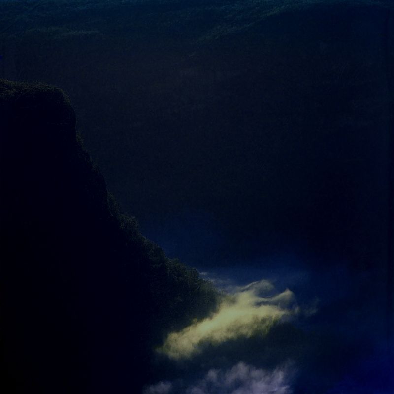
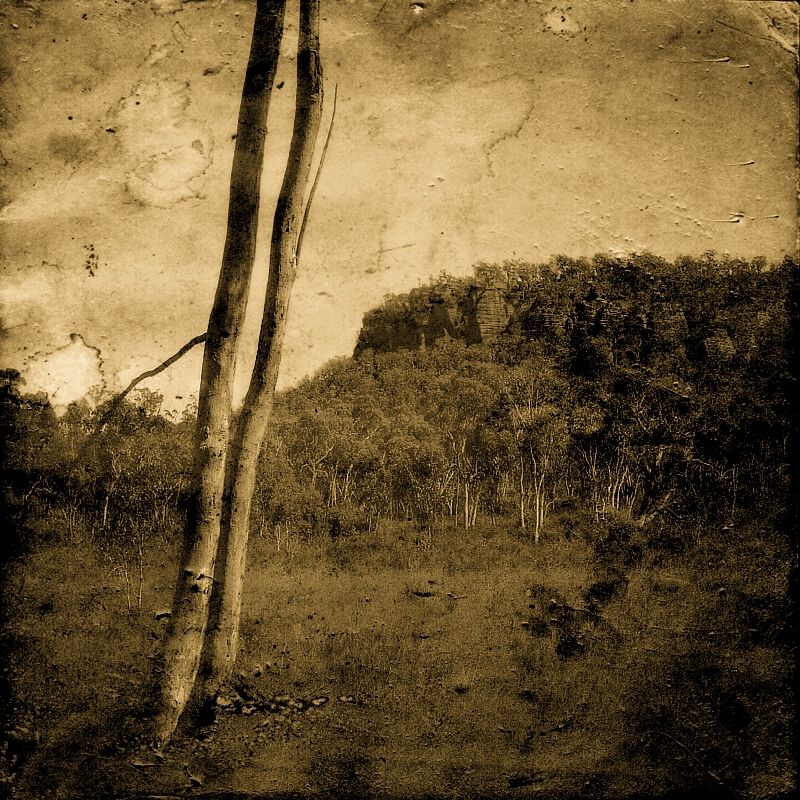
Ettrema Creek from Pardon Point. This photo is from a previous trip. This region has good side trips for walking with big views, if you are happy to dump the bike and walk to the edge of the escarpment.
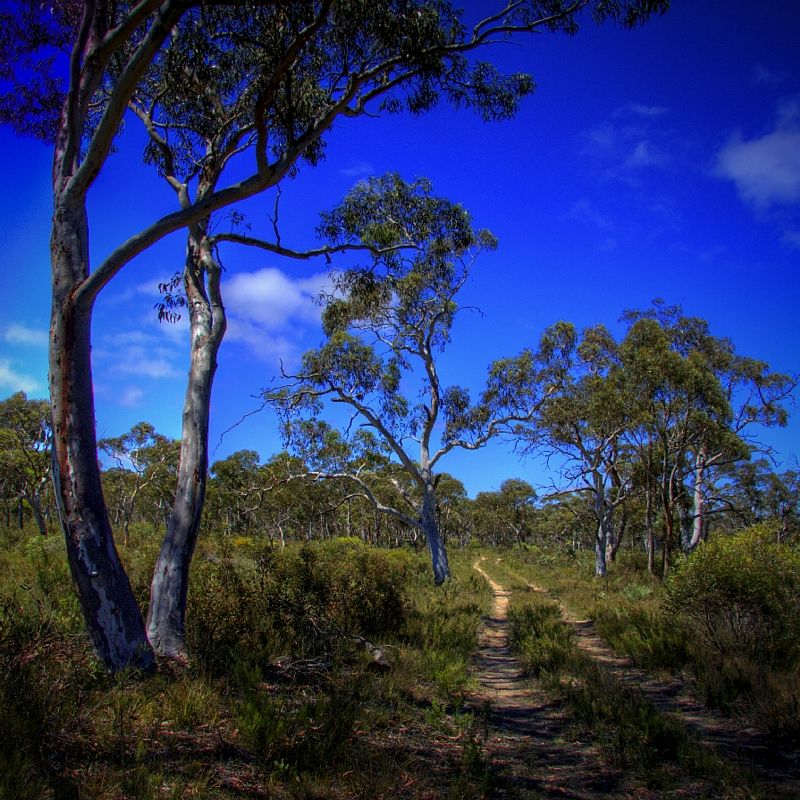
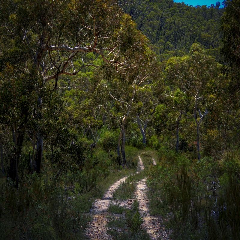
The tracks are generally fine, sand over hard pack with many rock slabs to enjoy. The only weak link is a couple of puddles and mud at the start of the Newhaven Gap Road just south of TS Reserve Sassafras, sticky basalt clay and easily avoided ... when expected.
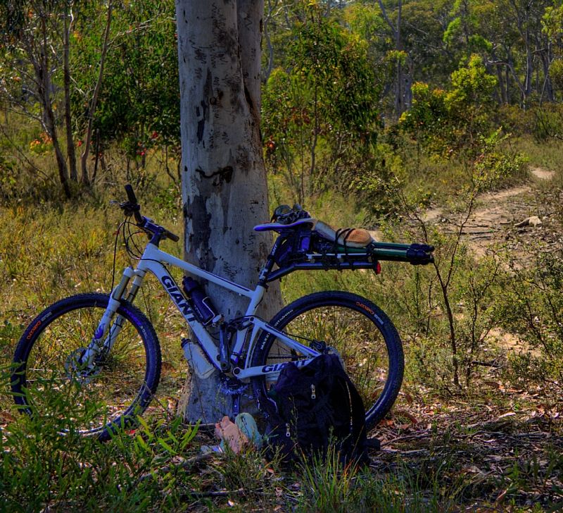
On the downhills which are few, the spur to the Endrick River from Gilbert's Gap is long and steep, the sandstone develops into death cookies over hard pack but with the right tyres, even that section of track is no drama. I have folding Kevlar tubeless tyres, with feather weight tubes, 26 x 2.1. A Maxxis Rendez on the front and Maxxis Crossmark, both at 30 PSI for grip or run at 32/36 for the really good flat trails.
There are no frills on the bike a Giant Anthem X3, except for a speedo, two drink bottle cages and a seat post mounted rack and an under seat saddle bag. The rack is supposedly capable of holding up to 9kg of cargo but I don't ever exceed 4-5kg.
My tools for the bush are very basic;
multi tool with a chain breaker. I use folding Kevlar tyres with flexible beads that don't need tyre spanners
Spoke spanner
The shock pump I leave in the car, I carry a light weight Tioga pump
One spare Maxxis Featherweight tube
quick fix patches and a couple of alcohol wipes for cleaning tubes and fingers
a spare derailleur hanger
a couple of power links
two spacers for the disk brakes
and a GPS which is most useful to mark where I dump the bike in the bush if I go walking
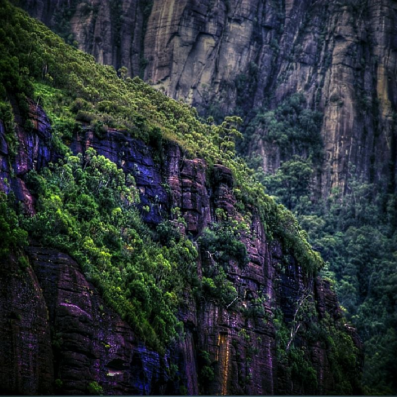
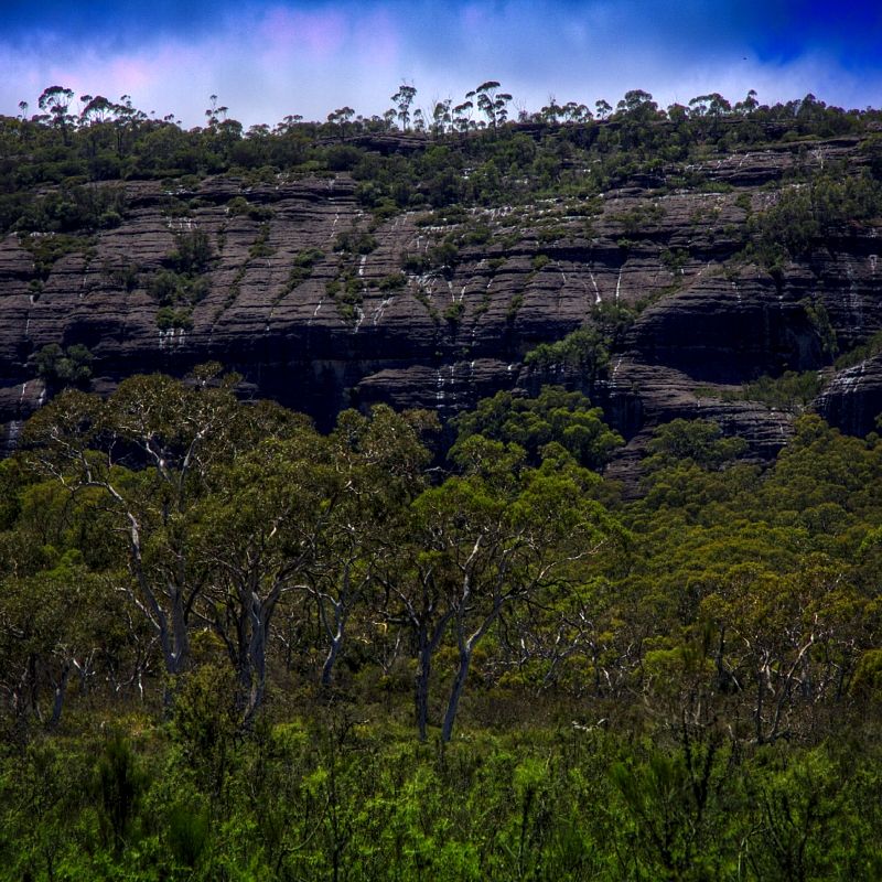
The next image is from a previous trip. Looking over the Clyde River Valley. Sassafras is somewhere on the left horizon. At Newhaven Gap and other locations along the route it is only a short walk to the edge of the escarpments.
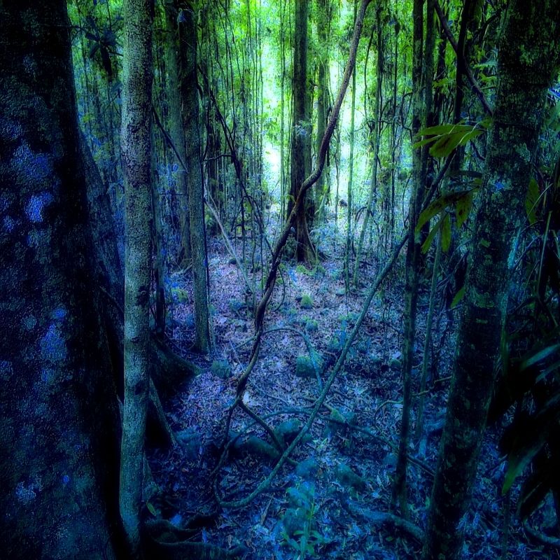
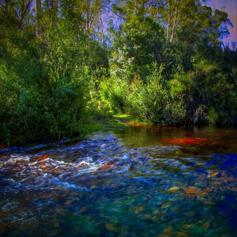
After Newhaven Gap, it is only a few kilometres before the track turns west at Camp Rock, which is a a good sandy campsite with running water and interesting rock shelves and waterfalls. Not too far along from here, the track enters The Vines, which is a warm temperate predominantly vine forest, rainforest. Lilly Pilly, Coachwood and Sassafras struggle to overcome monkey and lawyer vines amongst other vines at The Vines. Throughout the Budawangs in the gullies can be found cool temperate rainforests of Pinkwood and Sassafras.
Stone arrangements on the Bora Ground on Quilty's Mountain. One of three Aboriginal ceremonial grounds in the Budawang Ranges. Photo from a previous trip.
The Bora grounds in the Budawang Ranges have clear views of Pigeon House Hill. The Maternal Breast of Pigeon House is on the horizon in the photograph and the mountain on the left is Island Mountain.
Although Aborigines no longer perform the Bora ceremonies on Quilty's Mountain or Mount Sturgiss or on Shrouded Gods Mountain, they remain cultural sites of lasting significance. The three mountains are relatively close to each other in the Budawang Ranges and each has a Bora ground. Many Aborigines believe the grounds remain sacred and dangerous. There certainly is an eeriness being on these grounds, that I feel on no other mountains around here.
On top of the buttes, when I hear the wind in the Mallee, it is like hearing whispering voices. If you look at the ancient trees for long enough you will see the faces of the spirits of the Old People hiding in the trees. I always walk and ride alone in the bush ... because I know that the Old People are looking after me. One of my Aboriginal friends told me about the faces that can be found in ancient trees.
I have not seen all of the stones on the Bora ground on Quilty's Mountain despite spending much time looking, because they are now hidden under moss and vegetation and hard to identify and they probably hide from me when they hear me coming.
At Vines Creek between Quilty's Mountain and Mount Sassafras, the track splits. One track heads to Styles Creek (a no-go for bikes) and the other becomes the Quilty's Mountain Fire Trail and then splits again to join the Redgrounds Track. Now heading NW I soon reached Quilty's Clearing. Although the next photo doesn't show it, the number of Grass trees on Quilty's Clearing was extraordinary.
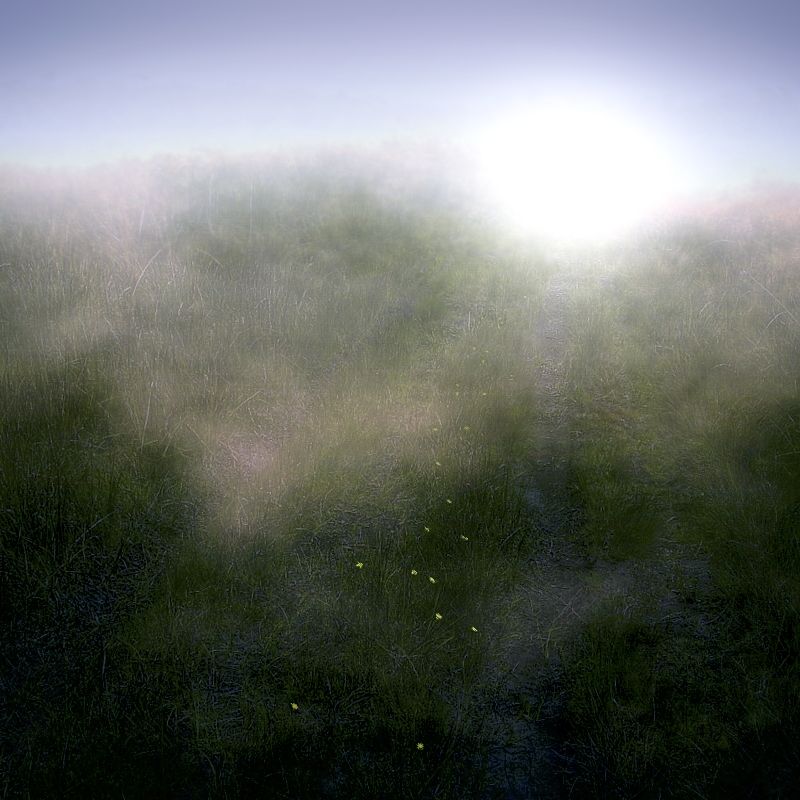
Yam Daisies and an early morning mist at Quilty's Clearing.
Much water flowing off Sassafras Mountain.
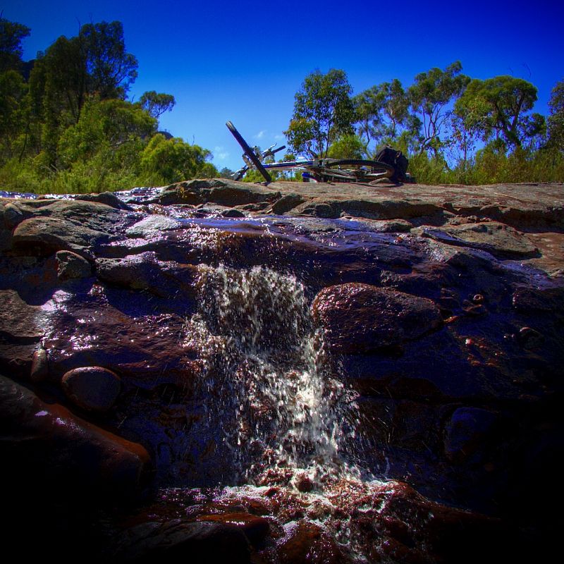
The Redgrounds Track is only a dozen kilometres from Gilbert's Gap and what should have only taken only an hour or a lazy two hours, between swims the 12 ks from Camp Rock to the Endrick River took most of the day.
The route near the upper headwaters of the Endrick River was extraordinary. At times I wondered whether I was still doing a bike tour, participating in Unobserved Trials riding or just enjoying swiming in some of the most pristine water to be found. I say Unobserved Trials because there was no one to observe me. Although I did meet two trail bike riders on the Redgrounds Track, who gave me good advice about water. Which meant that I could look forward to more lolling around.
Gilbert's Gap. I like post processing my images in the digital darkroom. The photography gets the priority above the daily distance to be ridden when I'm touring.
From Gilbert's Gap it was down hill to the pristine Endrick River, where I camped on the second night. Coming down from Gilbert's Gap there was baby heads and death cookies that decided the bike's best direction. The Rendez on the front, is slow for touring but very good in the loose or rough stuff. The gripping Rendez is a big confidence builder.
Crossing the Endrick was stunning, it took a while to find space for a campsite because it was well over 30°C and I re-hydrated by sitting and floating in the Endrick until my skin went wrinkly.
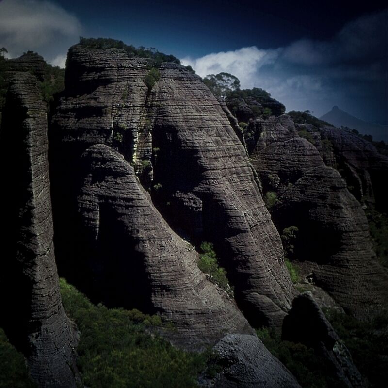
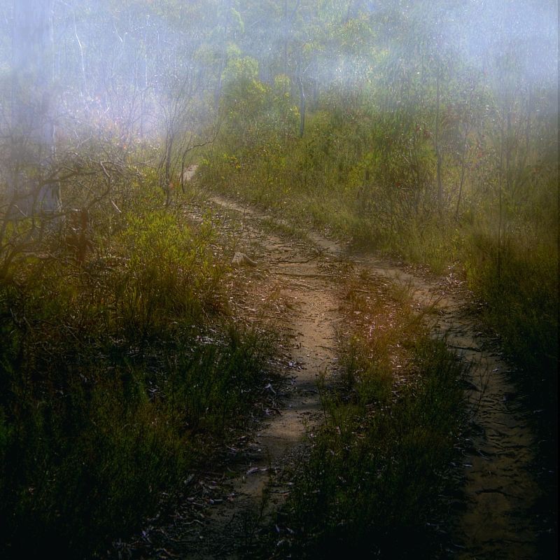
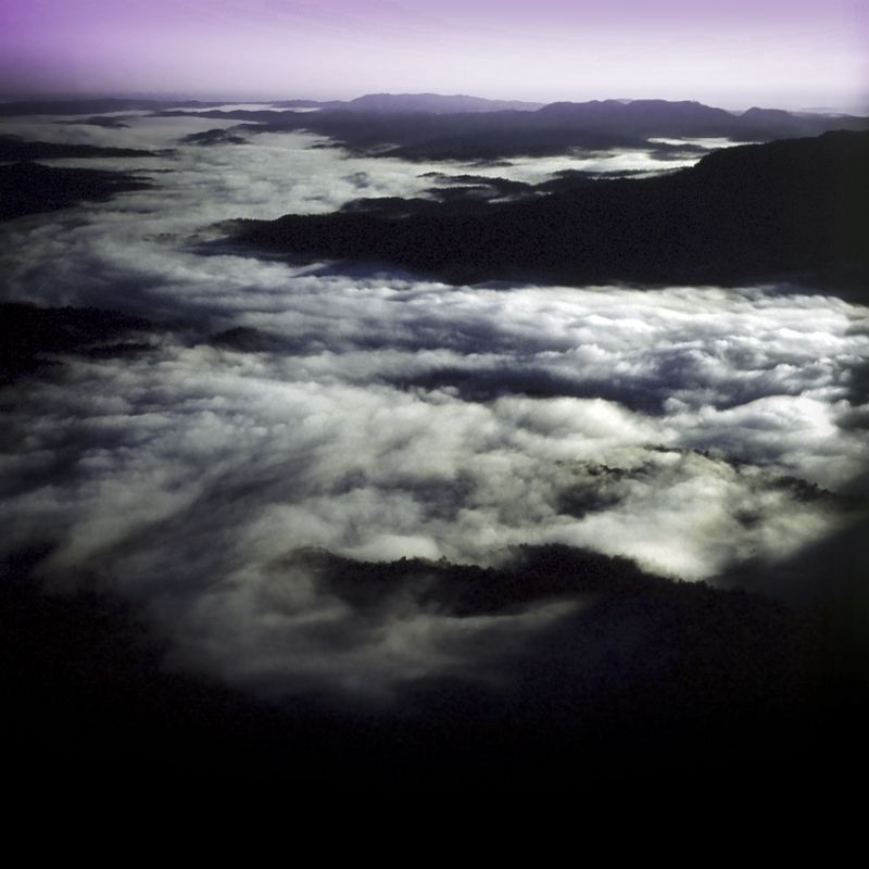
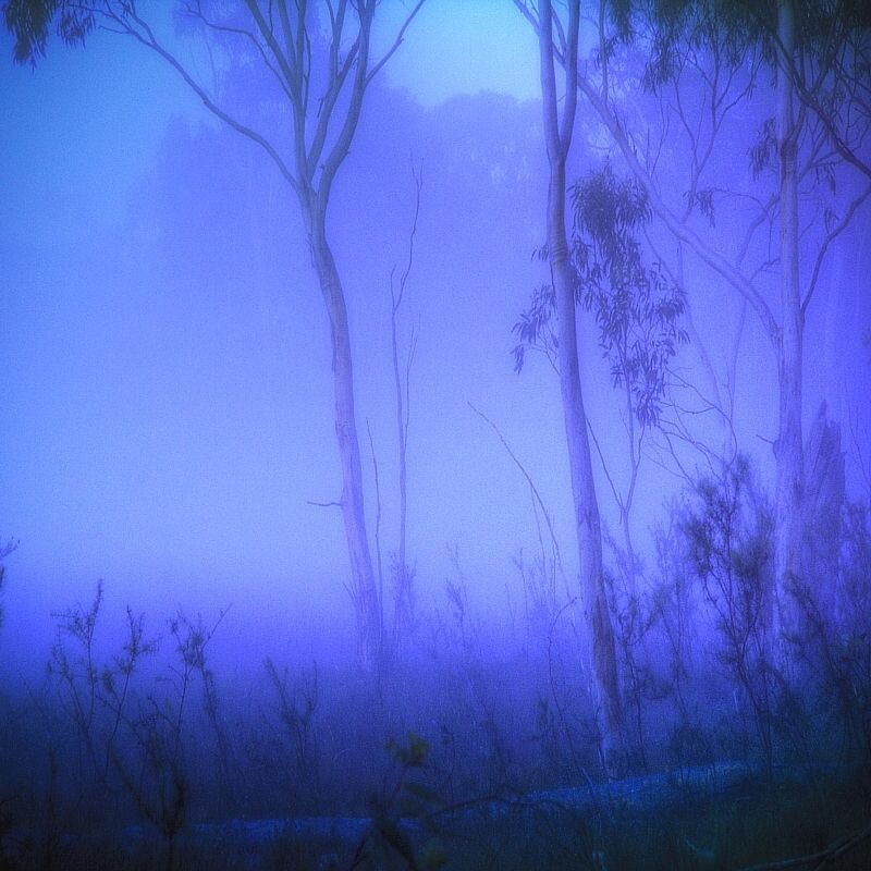
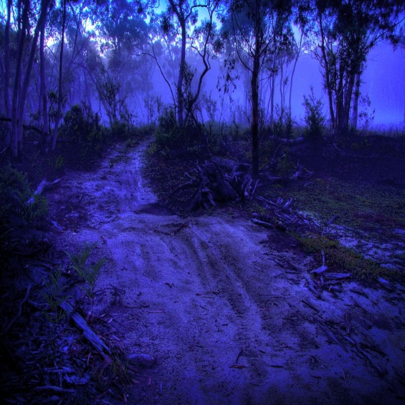
The Budawang Ranges are known as the Misty Mountains. On the third morning I hit fogs banks. It was good on the Alum Mountain Fire Trail to have a detailed map. I still have no Idea what the surrounds from Alum Mountain Fire Trail are really like. Whether the views are amazing of Round Mountain and Foster's Mountain, which I presume the views are ... but I do know, the Alum Mountain Fire Trail is worth returning to. The sandy track, the steep hills covered in death cookies, the fog that lasted until midday and what I could see of the swampy clearings from the track and with odd patches of sand and the smell of burnt ground, made the place mysterious.
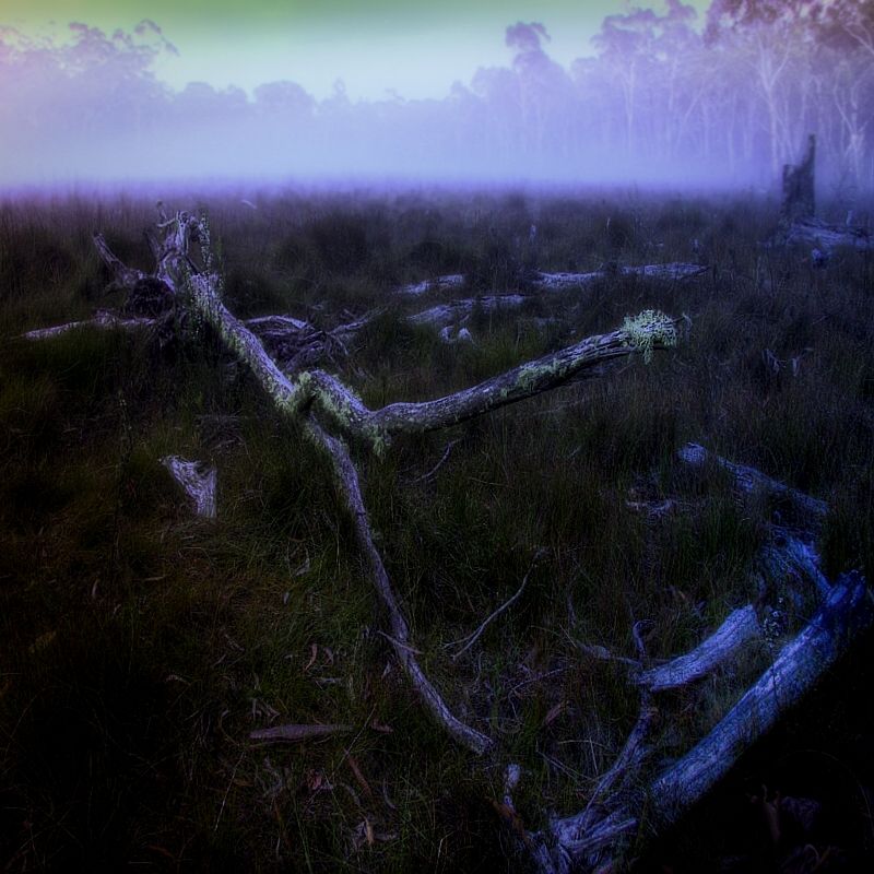
Crossing the dismal swamp couldn't have been better. I found a giant wishbone on this dismal swamp. I wish, I wish ... sorry it is a secret.
The Alum Mountain Fire Trail with burnt ground.
I hope that you enjoyed visiting Galloping Jim's Route on Ettrema Plateau and in the Northern Budawang Ranges.
Warren.