Anyway, here are some weather shots from the Bicentennial National Trail taken during the cooler months just past ... from the BNT Main Trail across the ACT, the Hume and Hovell Track (NSW), and the Queanbeyan River fire Trail, east of Googong Dam (NSW).
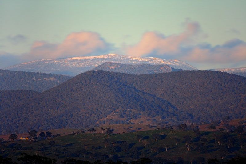
Snowing on the Bullen, Tidbinbilla, Hardy, Blue and Brindabella Ranges. The Brindabella Range is only just visible mid frame. From Narrabunda Hill, ACT.
The coldest Temp in town so far, this Winter, was recorded at the Canberra Airport at 7.00am on the 5th August. The Temp then was -7.6°C with an App Temp of -11.7°C. It was colder at the Airport than 1200 metres higher up at Mount Ginini. On Mount Ginini is the BOM's Northern Australian Alps Weather Station.
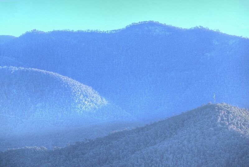
One couldn't see the trees for the frost on the 5th of August ... the Tidbinbilla Range from Narrabundah Hill, ACT.
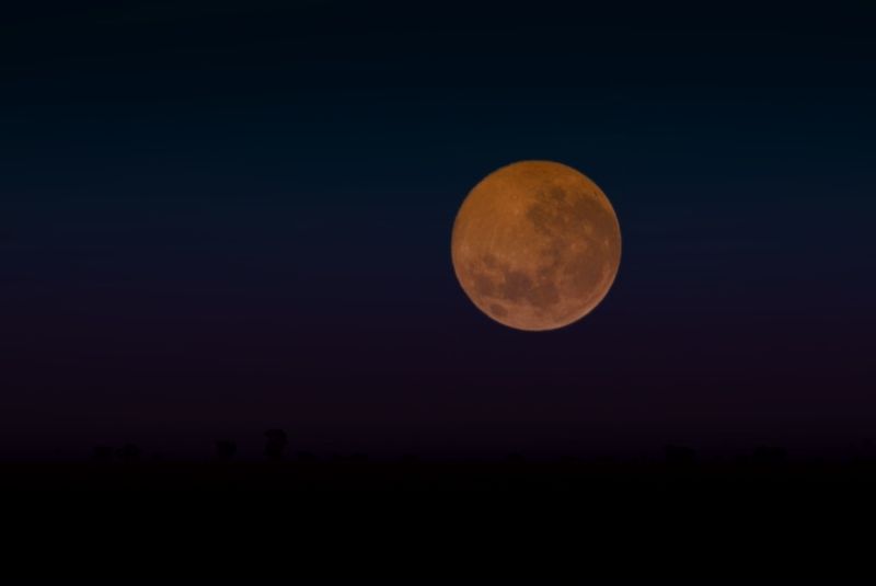
August the 10th's Super Moon at about 7.20pm, on the BNT, crossing the Dunlop Native Grasslands, ACT.
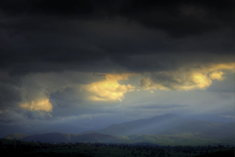
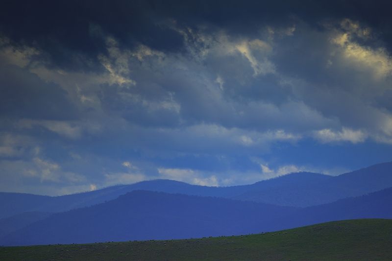
Bawley, Fence and Carey's Hills (NSW) ... from Ginninderra Creek (ACT).
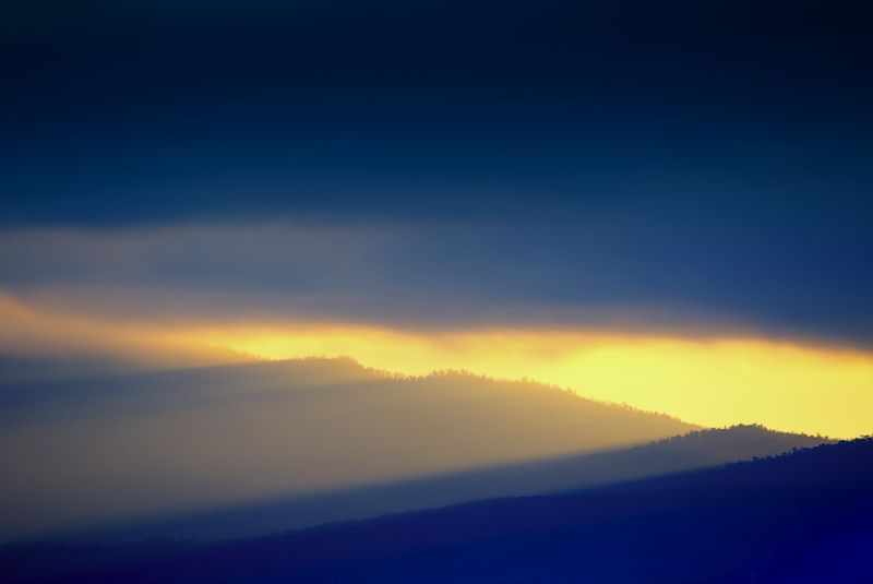
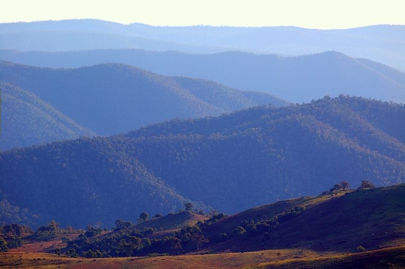
It has been a relatively smoke free Winter, this year. I've been waiting for Victoria to light up, as they do each year. They've been a bit late this time exporting their cool burn atmospherics. The early morning Southerlies on the 27th August brought a fair bit of smoke with them. Then the calm conditions at midday allowed the smoke to settle in the ranges. Early evening was very pretty.
A smokey Brindabella Range, ACT/NSW.
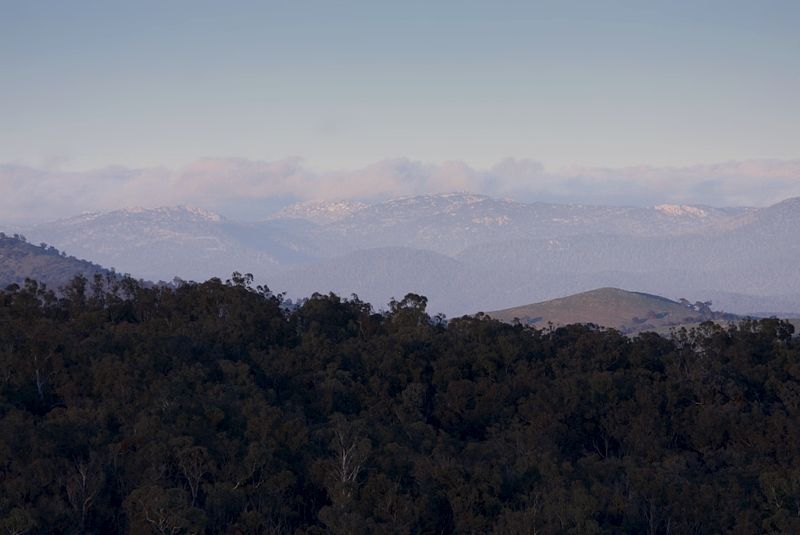
A smokey afternoon, hazy bright ... from Mount Arawang over-looking the mountains of the Murrumbidgee River. The Bicentennial National Trail in the ACT is very nice.
.. and on the Hume and Hovel Track (on the advised cycle route, between Albury and Tunnel Road), done during this past Winter. Also, my son Geoffrey and I did a reccy for the Granya Grind, which is part of the Hume Challenge (that Geoff will riding) at the end of this coming Summer.
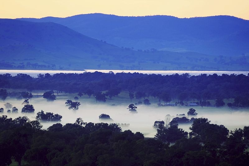
Before Sunrise at Sunrise. On Eastern Hill overlooking the property of Sunrise and the mist shrouded Mungarabina Lagoons, Murray River and Hume Weir ... to Mount Talgarno.
When Geoff and I were heading back to Albury after the Mount Granya reccy, we went via Farrans Lookout, in Victoria. Very nice.
Winter at Farran's would have to be one of the best views in the SE. It would be infra dig for me not to show one of the definitive Farran's chocolate box images.
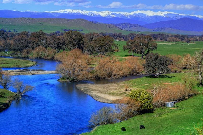
The Main Range from Farran's Lookout.
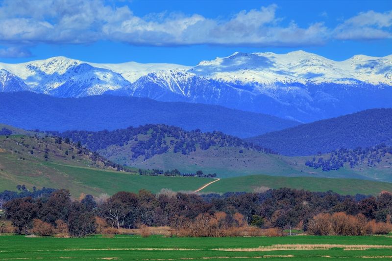
In late August (22nd-24th) the weather was most pleasant. 18°C max on the first two days and somewhat cloudy on the third. There was a tad of rain early on the 24th, but mostly it remained clear.
Midday 24th, the high-point is Mount Townsend, NSW.
Late afternoon, the high-point is Mount Twynam, NSW.
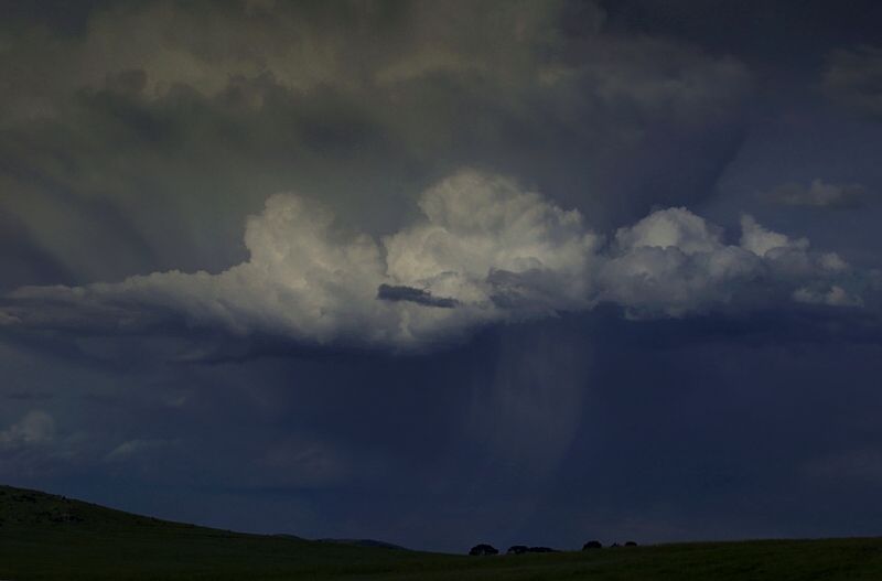
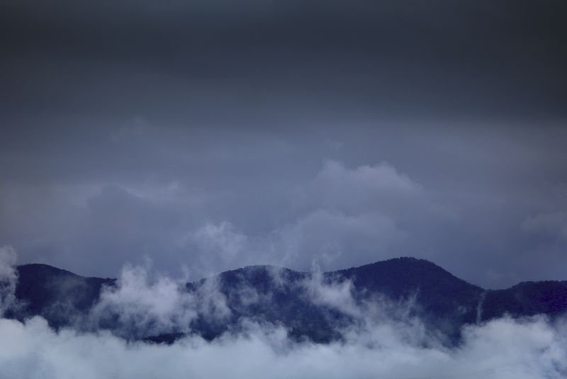
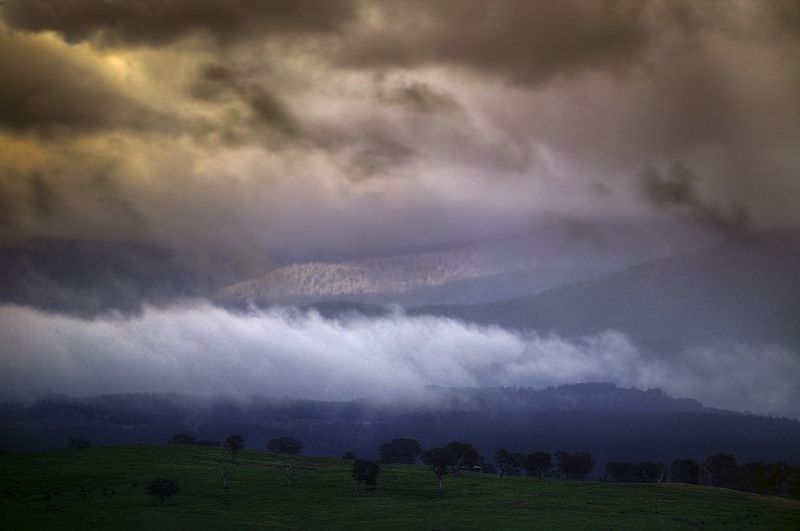
1st September on the Queanbeyan River Fire Trail, East of Googong Dam in the Taliesin Hills, NSW.
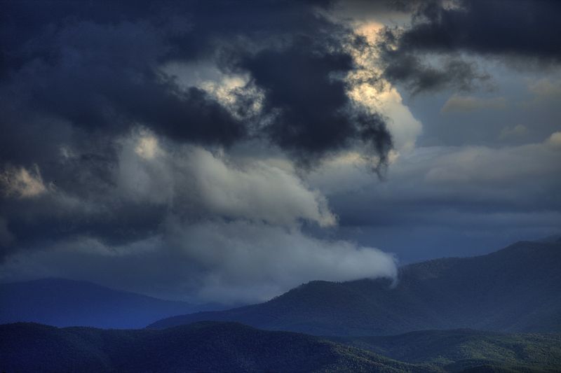
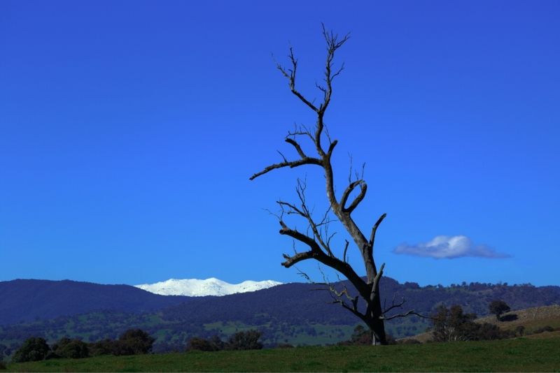
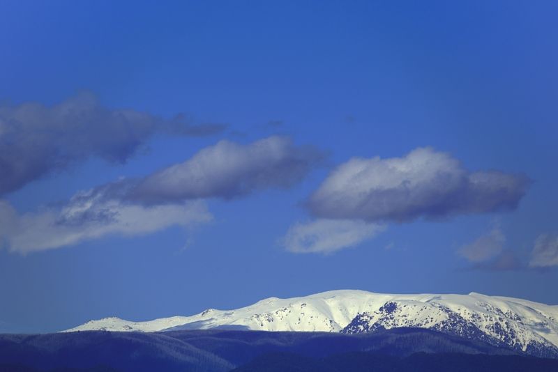
Where the Tidbinbilla Range (ACT) becomes the Brindabella Range (ACT/NSW).
Snow on the tors between Mount Gudgenby and Kelly Spur, ACT, 2nd September.
On the night of the 2nd September it was very cold and on the following day, the high winds were freezing. The App Temp recorded on Mt Ginini at sunrise on the 2nd was -16.7°C. It was too cold to enjoy the day, all-day ... I felt every bit of that -16.7°C.
The ACT's highest mountain. Bimberi Peak (1912m) from Hickory Hill, on the Qbn River FT.
Finally, some shots taken mid September, again from the BNT (in the ACT).
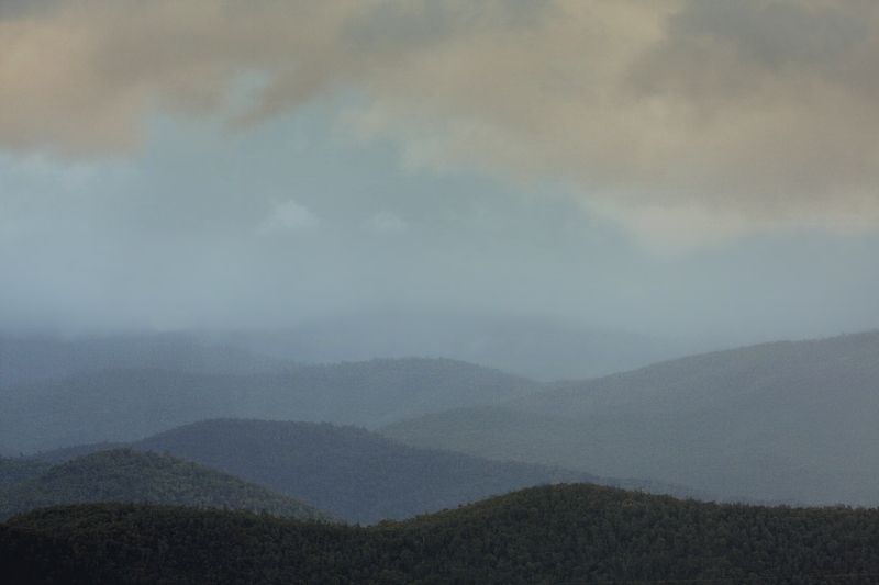
Many wet Sheep, the Mountains of the Murrumbidgee.
Clearing showers, at sunrise, looking towards the Blue Range and Mount McDonald, ACT/NSW.
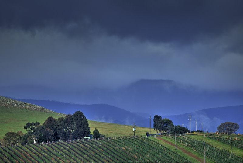
Showers on the Blue Range, NSW. Where the BNT leaves Strathnairn Homestead heading towards Worlds End Homestead, in the ACT.
Warren.
PS, The weather is here ... I wish you were beautiful. The landscape certainly is.