Swan Hill / Barham / Echuca / Bendigo

User avatar
jasper_244
Posts: 25
Joined: Tue Jun 24, 2008 10:06 am
Location: Clayton Sth VIC

Swan Hill / Barham / Echuca / Bendigo

Postby jasper_244 » Tue Mar 03, 2009 6:03 am

A few pics from a ride between Swan Hill / Barham / Echuca / Bendigo 29/30/31st Dec 2008

A word of warning - Having not been before I did not know to expect the Murray Valley Hwy to get a bit hairy in places - (i.e.) single lane each way gravel or no shoulder and lotsa big trucks :) - Still great fun nonetheless !!

Look a refreshing Lake "Lake Boga"

Image

Even the cows are thirsty

Image

I wasn't expecting this but it all added to the fun.

Image

By this stage I was lost and this sign was no help at all.

Image

Campsite #2

Image

Fun :)

Image
:D

User avatar
hartleymartin
Posts: 5153
Joined: Thu Feb 19, 2009 6:56 pm
Location: Fairfield, NSW

Postby hartleymartin » Tue Mar 03, 2009 6:26 pm

I hope you remembered sunscreen mate. Looks like a good ride, how far did you travel? Topographical maps are useful - they tell you at least whether you will be using sealed or dirt roads, and give you an idea of where hills are.
Martin Christopher Hartley

http://raleightwenty.webs.com - the top web resource for the Raleigh Twenty

User avatar
il padrone
Posts: 22931
Joined: Mon Apr 07, 2008 11:57 pm
Location: Heading for home.

Postby il padrone » Tue Mar 03, 2009 8:21 pm

hartleymartin wrote:I hope you remembered sunscreen mate. Looks like a good ride, how far did you travel? Topographical maps are useful - they tell you at least whether you will be using sealed or dirt roads, and give you an idea of where hills are.
Hills :?

Swan Hill, Barham, Echuca..... nope :wink:

How did you go with the bindiis on the dirt roads?
Mandatory helmet law?
"An unjustified and unethical imposition on a healthy activity."

User avatar
jasper_244
Posts: 25
Joined: Tue Jun 24, 2008 10:06 am
Location: Clayton Sth VIC

Postby jasper_244 » Thu Mar 05, 2009 6:56 am

Sunscreen - check

Maps - check - Actually the girl at the info centre in swan hill warned be about the unsealed roads. I just never expected to get lost on them.
I added an extra 40 odd k to my journey on day 1 because of some dodgy street signage ... No matter - all fun !!

Definitely no hills - in fact most of my riding - even my long daily commute is almost completely flat :(

I can't recall distance - was probably pushing 300k though -

I have to ramp up - distance and hills - off to central Europe in May - I'll surely find me some hills there :)

User avatar
hartleymartin
Posts: 5153
Joined: Thu Feb 19, 2009 6:56 pm
Location: Fairfield, NSW

Postby hartleymartin » Thu Mar 05, 2009 7:40 am

I'm told that Holland is basically flat with one big hill in the south.
Martin Christopher Hartley

http://raleightwenty.webs.com - the top web resource for the Raleigh Twenty

User avatar
MikeyJ
Posts: 119
Joined: Wed Sep 10, 2008 12:15 pm
Location: Mitcham, VIC

Postby MikeyJ » Thu Mar 19, 2009 8:45 am

Nice work!

Can I ask where the extended gravel sections of road were? I lived up that way for a couple of years (Swan Hill) and I can't recall any major sections of gravel on the MVH!

Just wondering whether it's temporary - for road work and the like - or whether my memory is failing me! :lol:

Sounds like a great ride, though. It's good touring country up there, nice and flat.

User avatar
jasper_244
Posts: 25
Joined: Tue Jun 24, 2008 10:06 am
Location: Clayton Sth VIC

Postby jasper_244 » Mon Mar 23, 2009 6:42 am

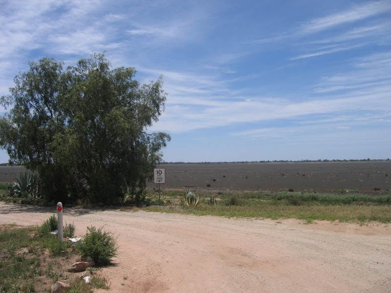
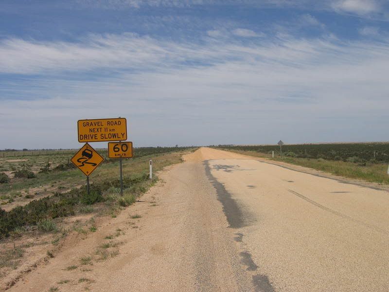
Hi Mikey ... I threw a left just before lake tutchewop and went through Benjeroop and Murrabit to Barham, next morning down to Cohune then back onto MVH to Echuca.. The gravel starts (AT) the turn off at Tutchewop, and continues for a while - I think to Benjeroop or Murrabit _ I cant recall. I got lost that day because Winlaton Road goes this way and that - I thought I was heading in the right direction but ended up 40k North in the wrong direction ! grrr... Still - It was fun ...

I would like to go back this coming Easter Long weekend and do Echuca to Albury (or vice versa) I am guessing it will be more of the same flat MVH ... If anyone has been along this way I'd love any tips - good camping spots etc ...

Oh - Martin - great pics !! By Central Europe I don't mean holland :)

Starting in Munich May 16 I will ride to Fussen, Zurich, Vaduz, Innsbruck, Salzburg Vienna, then Train to Prague for a few days, then tour south in Czech Rep for a week (cesky krumlov etc) back to Prague, then travel with a freind back to Munich,,, Six weeks in total.

I will post separately in the OS touring, but while I am here I will ask as well, if anyone has any experience with Mapmyride or bikely . com... they seem to struggle with plotting longer courses like this... I know when i get there - i will collect local maps of bike routes etc, but want to finish a map as an outline for friends and family, but both these sites freeze up on me when the trip gets over about 600 km .. Even if I use IE or Firefox, still the same problem...

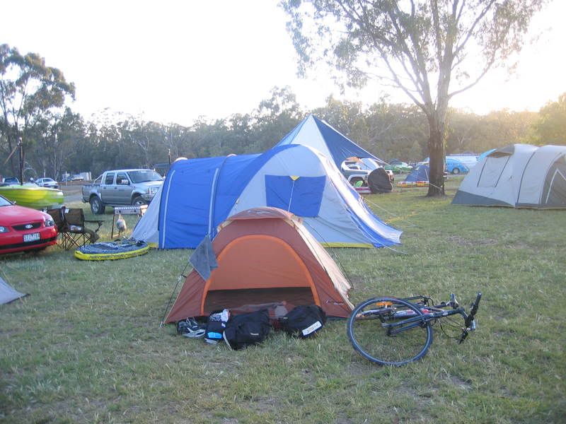
And yes - with my history of getting lost I will be looking at getting a GPS before i go !! I have a few things to buy, new tent, sleeping bag etc ... I am just waiting for the sales to ramp up hopefully before I go ...

:) - Ed

User avatar
Moocar
Posts: 42
Joined: Tue Feb 10, 2009 7:21 pm
Location: Wollongong, Australia

Postby Moocar » Tue Mar 24, 2009 12:19 pm

jasper_244 wrote:I will post separately in the OS touring, but while I am here I will ask as well, if anyone has any experience with Mapmyride or bikely . com... they seem to struggle with plotting longer courses like this
I've been plotting my trip on mapmyride. At first I thought it was painful, but after trying out some of the other sites out there, I think it's the best available. The trip I plotted is over 4000k long at the moment. The only annoyances I've found are that you have to plot points at < 75km intervals. Bit silly when I'm on a flat straight road for hundreds of ks. Oh, the other piece of advice is not to use the Elevation graph once you pass a few hundred k's. That WILL freeze the browser

I've been using it on google chrome.

User avatar
jasper_244
Posts: 25
Joined: Tue Jun 24, 2008 10:06 am
Location: Clayton Sth VIC

Re: Swan Hill / Barham / Echuca / Bendigo

Postby jasper_244 » Wed Mar 25, 2009 7:03 am

Thanks Moocar - Google Chrome did the trick ! In fact it seems faster at everything, I am still getting used to it - lost my home page and all that but its great - I've finally completed my rough trip outline ! Awesome !! Thanks again :)

Who is online

Users browsing this forum: No registered users